CS —
01
Scan to BIM
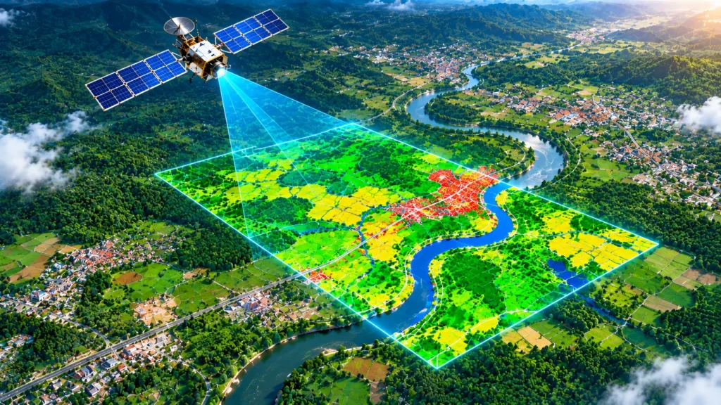
Organise, interpret and analyse geographic datasets and satellite imagery to support land-use mapping, spatial analysis and infrastructure planning.