Crafty solutions is a Indian geospatial organization established on 2017 headed by technocrats having more than 10 yrs of experience, commitment towards our stakeholder’s interest makes us more reliable, cost-effective and costumer centric.
Crafty solutions commitment is to serve geospatial world and to build strong connections strategic partnerships throughout the space. As the name indicates our professional team committed to provide innovative services to geospatial world.
CRAFTY SOLUTIONS put forward innovative ideas and use new technology. We offer a wide range of survey services.
Crafty Solutions Commitment towards client requirements We deliver globally readable products Crafty Solutions Technical Excellency serve you the best Crafty Solutions is very cost effective Our team is committed to deliver projects on-time every time We assure data security Our team is very enthusiastic to learn new things and accept challenges Our technical team is eager to upgrade with new technologies
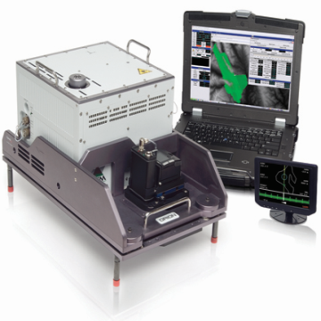
From terrestrial and airborne laser scanners to UAV drones, we use the latest and most efficient technology.
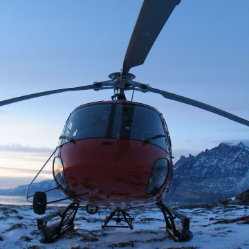
From the deserts of Algeria and Oman to snow covered Greenland, we can survey in all conditions.
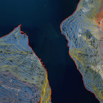
DTM models, contours & difference maps, Merrett Survey have provided quality products to clients for over 25 years.
There are many application areas like Digital Photogrammetry services, GIS Remote Sensing Services,LiDAR- Light Detection And Ranging, Engineering Services 2D/3D .
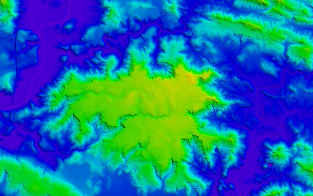
DTM, DEM, DSM, Power Lines, Break Lines and Contour
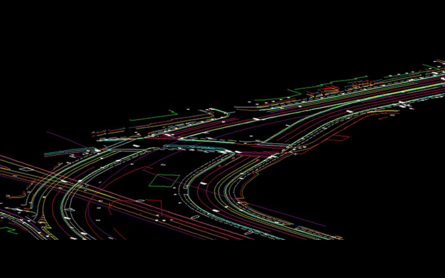
Highways , Roads and Railways / Coastal Management
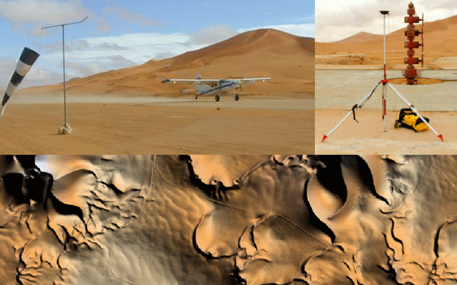
Utility Mapping, Topographical Mapping and Stereo Satellite Data Processing
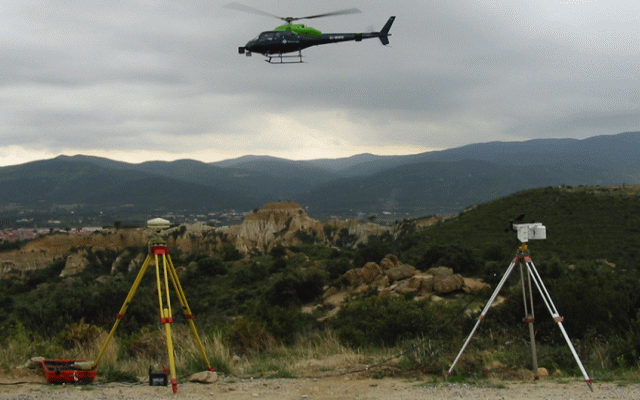
Digital Elevation/Terrain Modeling
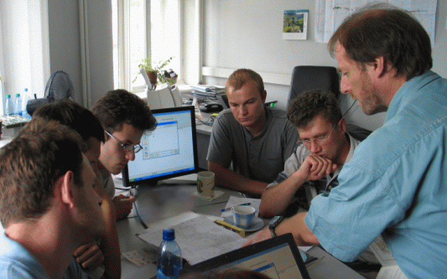
Piping Design, Architectural Plans, Civil Drawings
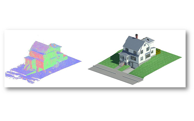
Industrial Plants, Structural Engineering
4th floor, #02, MTK COMPLEX, 2nd main road, Health layout, Srigandadakaval, Nagarabhavi 2nd stage, Bangalore- 560091
Mobile Number : +91 8892848766
Landline Number: 080 4302 1400